Industry · Agriculture AI

Precision agriculture AI needs annotation matched to actual growing conditions

Crop disease patterns, satellite spectral signatures, and yield indicators vary by region, variety, and growing conditions. The annotation pipeline produces agritech-grade training data with the domain precision that generic labeling solutions cannot match.

Start a Free Audit → Our Quality Standards
Precision crop intelligence data
NDVI classification, multi-spectral disease labeling, and phenology-aware crop health data are the training substrate that powers accurate agricultural AI across crop types, geographies, and growing seasons.
Satellite & drone annotation at agritech scale
Multi-spectral satellite classification, NDVI crop health assessment, drone footage disease detection, and insurance claim annotation with the agronomic and remote sensing precision that agritech products require.
Agro-climatic precision built into every label
Annotation schemas matched to zone, crop type, and growing conditions for the specificity that produces agricultural AI capable of generalizing across geographies rather than failing outside the training region.
Scroll
Crop Disease DetectionSatellite ImageryInsurance AIYield EstimationSoil AnalysisPrecision FarmingAgronomy SpecialistsDrone Footage AnnotationRemote SensingCrop Disease DetectionSatellite ImageryInsurance AIYield EstimationSoil AnalysisPrecision FarmingAgronomy SpecialistsDrone Footage AnnotationRemote Sensing
What the Pipeline Covers

Annotation infrastructure for every precision agriculture use case

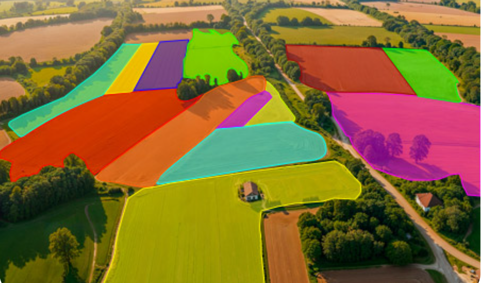
Satellite imagery, drone footage, and field photograph annotation iss the data infrastructure powering precision agriculture AI, crop health monitoring, and agricultural insurance systems globally.

Crop Disease Detection NDVI & Satellite Imagery Drone Survey Data Yield Prediction Soil Classification Insurance Claim Assessment Irrigation Mapping Agricultural RLHF
Crop annotation satellite imagery
HEALTHY · 0.96
DISEASE · 0.88
PEST ZONE · 0.85
SOIL TYPE A
NDVI
Field avg: 0.62 κ 0.91
AgriTech

Annotation that understands crop type, region, and growing conditions

Satellite imagery, drone footage, and field photograph annotation for crop disease detection, yield estimation, and insurance assessment.

Get a Free Audit →
Capability 01
Satellite & Drone Imagery
NDVI annotation, multi-spectral classification, and field boundary delineation with precision-labeled remote sensing data for crop monitoring AI, agricultural insurance, and precision farming platforms.
Capability 02
Crop Health & Disease
Plant pathology classification for disease detection models such as fungal, bacterial, viral, and nutrient deficiency labels with the phenological and agro-climatic context that generic annotation pipelines cannot provide.
Capability 03
Yield & Growth Prediction
Growth stage classification, plant density assessment, and maturity estimation across the full crop cycle is the labeled data that powers yield prediction models, harvest planning AI, and precision agritech platforms.

Ready to build better AI for Agriculture?

We evaluate 50 of your model outputs and return a findings report in 5 working days. No cost. No commitment.